Estimating Oil Spill Risk to Alaskan Shores from Grounded Vessels
Project Summary
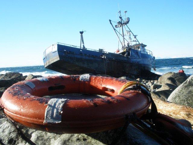
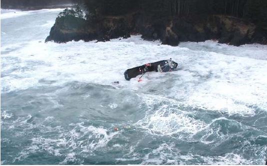
The goal of the project was to better understand the risks associated with vessel traffic in the Bering and Chukchi Seas to the Alaskan shoreline. This included estimating the probability of vessels drifting and running aground, estimating the likelihood of a grounded vessel spilling oil, and risk posed to coastal areas from oil spilled from such a vessel.
The project incorporated data from an industry database of 3000+ vessel incidents from Alaskan waters, a NOAA incident database, and a State of Alaska incident database to develop realistic parameters for the likelihood and duration of vessel drift events into drift simulation models.
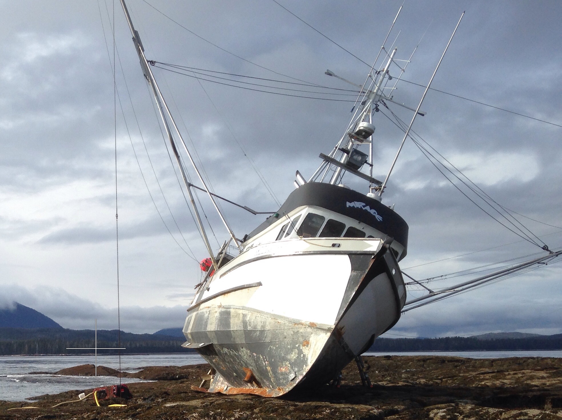
Hundreds of thousands of simulated vessel drift events along traffic routes in the Bering, Chukchi and Beaufort were simulated identifying areas at high risk of groundings.
Tens of thousands of simulated oil spills were initiated from grounding locations to estimate how spilled oil will disperse and pose risk to the coastline summarized by region and month.
The final products of this work include spatial data layers, simulations, and monthly summaries, available through interactive visualizations and for download through the Alaska Ocean Observing System’s web-based data portal.
Project Funding
This project was funded by the National Park Service.